Climate of Iran
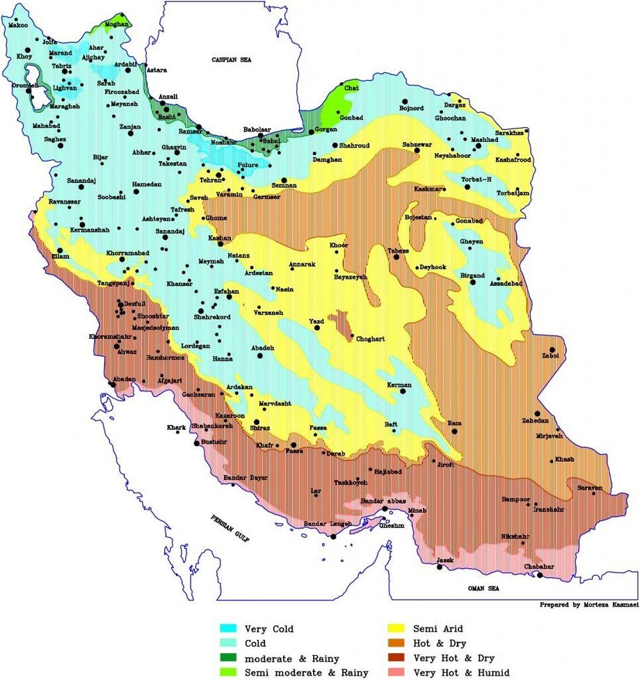
Iran can be divided into 3 major climate areas:
• Arid (desert) and semi-arid climate ( most of Iran)
• Mediterranean climate ( the narrow strip along side Caspian sea, north of Iran)
• Cold dry climate ( in the mountain areas)
Climates throughout Iran
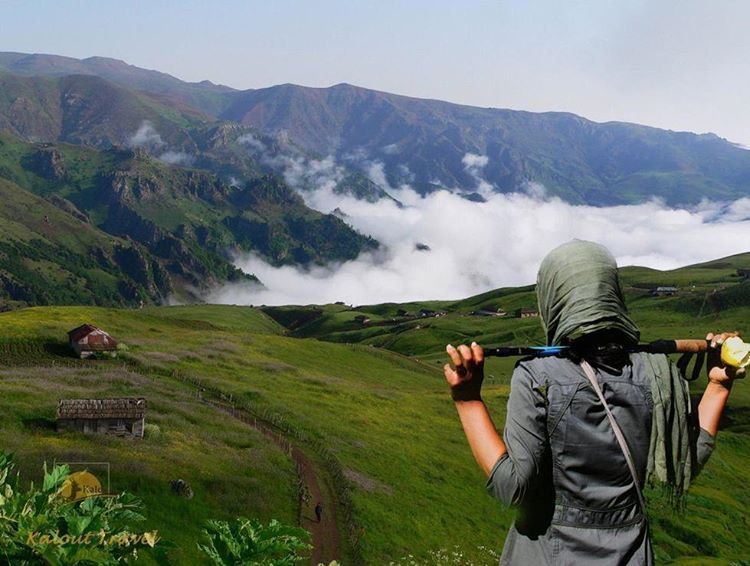
The northern strip of Iran, marked with green on the map, by the Caspian sea, is the most popular domestic summer destinations. While the country is hot and dry through out the summer this narrow strip between the high rising mountains and sea is very mild and cool.
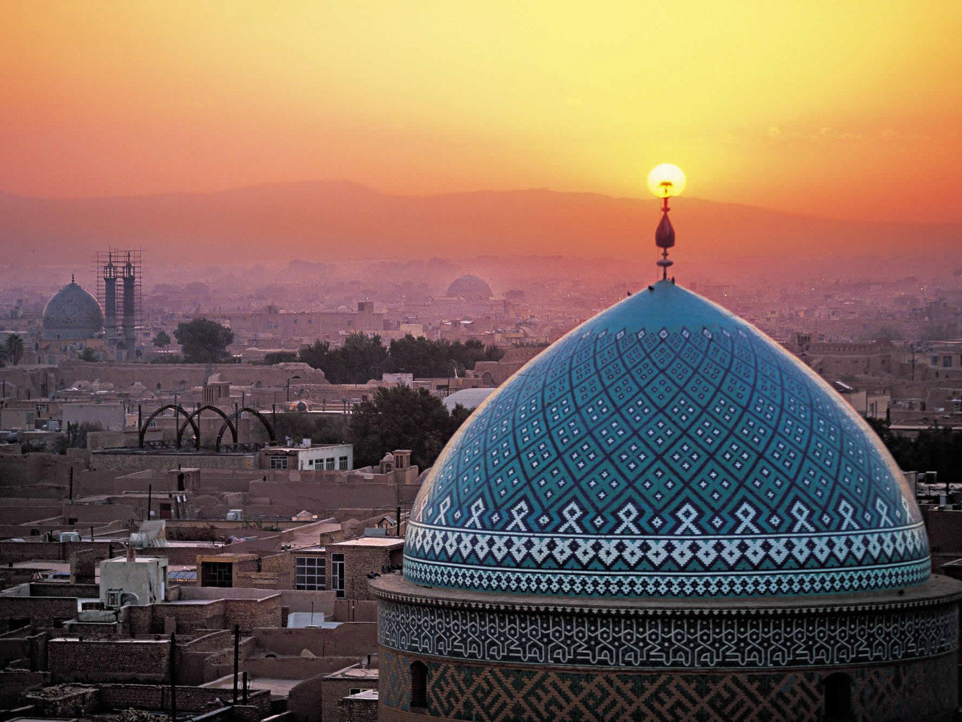
The blue locations on the map are the mountains and their skirts. Most Central cities in Iran are located on mountain skirts. The north west cities such as Tabriz and Urimie are very cold through out winter with pleasant summers. If we journey towards the south, the temperatures rise . Tehran has very mild weather in summer and winter. Yazd and Isfahan and further south, Shiraz are located in the central Iran which have cool winter and very hot summers. The sun is very strong in central Iran.
The south of Iran has very humid hot weather. Winters are very pleasant. Iranians travel to the south of Iran in winters, specially kish and Gheshm Island have the best weather in winters.
Based on average annual rain fall, Iran is a dry, semi-dry country. The average rain fall is 275mm per year, which ranges from 2m to 5cm throughout the country.
Being prepare for Iran’s climate
Sun glasses, the most important piece you will need.
If your traveling in winter, unless you plan to visit the southern islands of Iran bring light winter wears ( you wont need very very warm coats in Iran).
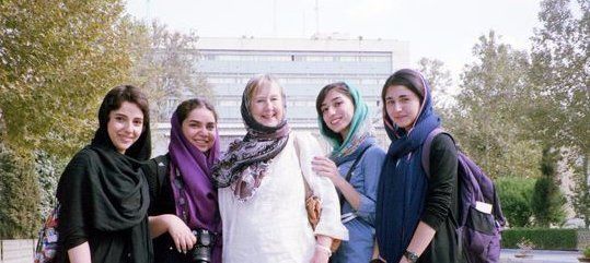
If your traveling in summer, be sure to bring very cool cotton cloths ( Iran men and women have to be covered) since it is gonna be hot. Packing sun block and a hat will also be a good idea.
In Spring and Autumn weather can be unpredictable so pack a cool set of cloths and a warmer set of cloths including a coat.
Central parts of Iran can also be quite dry, a small bottle of body lotion may come in handy.
Iran’s climate is a result of several of geographical aspects:
1. Vast country: Iran spreads wide from north to south and from east to west
2. 2 major mountain ranges pass through Iran: Zagros, Alborz
3. Desert land in the center of Iran plato
4. Having 2 major seas on the north and south of Iran
5. The average latitude of 1200m from sea level throughout Iran
Facts on Iran climate and weather:
- The temperature difference in Iran can reach up to 50 degrees in winter.
- While shahre kord is -30 degrees in winter, we have Ahvaz at 50 degrees through the summer.
- The north west has the lowest average temperatures of 10 degrees, the more you move towards the south east this average rises to 25-30 in Sistan province.
- In 2004 and 2005 the hottest location on earth was recorded to be in Iran’s Loot desert ( 72 degrees ).
- Highest elevations in Iran are mountain tops of Zagros and Alborz mountain ranges. The highest temperature year round is 10 degrees in these areas. These mountain tops that are covered with snow year round make up for 40,000 square kilometers of area.
- About half the country is covered with mountains, ¼ is cultivated land and the remaining ¼ is plain land/desert.
- Lowest point in Iran is only 56 m above sea level in the Loot desert.
- The highest point on Damavand Mountain is 5610 m high, located in the Alborz mountain range.
- The Caspian sea shores are 28 meters below sea level.
- The variety of climate in Iran has brought with it various plant and animal species spread throughout the country. For example there are 168 wild mammals species found in Iran which is equal to all wild mammal species living in the continent of Europe.
- In Iran there are 8000 types of plants , 174 fish species , 20 amphibian & reptile species and 514 bird species registered.